From Val Fréjus, take the Lavoir forest track (parking at 1,923 m).
The path climbs through the meadows on the right bank of the Grande Montagne stream.
At the EDF water source at La Losa (2,099 m), turn right onto the track that crosses the left bank towards Chalets du Plan.
At the Sarrasins stream, bear right along the valley. After a steep climb, you'll reach a flat section and will cross the stream.
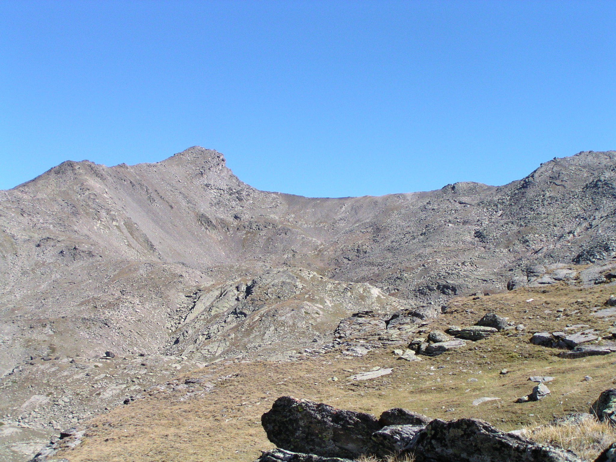
Continue through the pastures to 2,600 m.
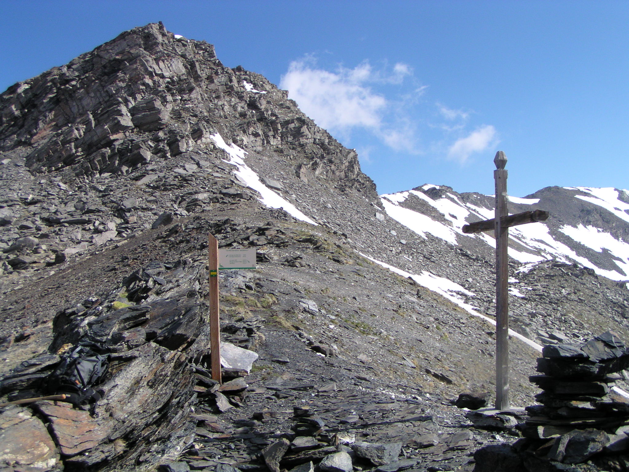
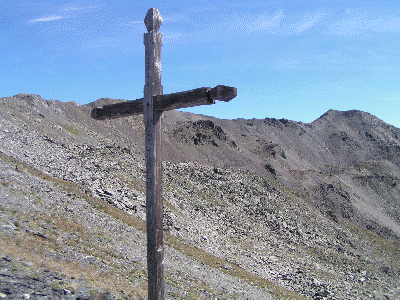
The trail again winds steeply upwards, skirting around a small lake on the right before reaching the cross on Col des Sarrasins (2,844 m).
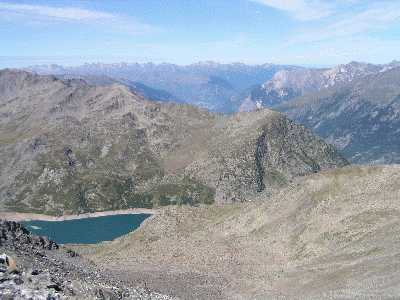
The descent to the refuge is along a well-marked path running alongside some small lakes.
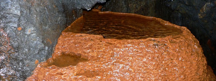
(At around 2,700 m you can climb up to the former Sarrasins mines, where silver lead was mined until the 1860s).
More information


