Compagnie des Refuges Clarée Thabor
Search for availability of lodges and refuges

Pont de l'Alpe to Refuge du Chardonnet via Col du Chardonnet

How to reach Refuge du Chardonnet
The main gateway to the upper Clarée valley from Vallée de la Guisane.

step 1
Ascent to Refuge du Chardonnet

see on map
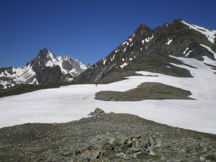
From Pont de l'Alpe (1,710 m), take the track to the chalets de l'Alpe du Lauzet. Leave the track and pick up the GR57 to an altitude of 2,209 m (on the map), then start the steep climb to Col du Chardonnet (3 hrs).
From the pass, the descent to the refuge is well signposted (1 hr).
More information

Refuge du Chardonnet

- 2227m
Departure arrival1710 m
Arrival altitude2227 m
Elevation+900m/-400m
Time4h
Book your accommodation
for this hike
step 1
Ascent to Refuge du Chardonnet
Refuge du Chardonnet
Departure arrival1710 m
Arrival altitude2227 m
Elevation+900m/-400m
Time4h
DifficultyDifficulty Medium
Seasonin summer