Compagnie des Refuges Clarée Thabor
Search for availability of lodges and refuges

3 days (2 nights): Starting from Valfréjus (Modane)

Refuge de Mont Thabor - Refuge des Marches
Discover the Mines des Sarrasins and Chapelle du Mont-Thabor.
An extraordinary route to featuring historical sites, such as the ancient mines of the Sarrasins and the Mont Thabor chapel.

step 1
From Lavoir (Valfréjus-Modane) to Refuge des Marches via Col des Sarrasins

see on map
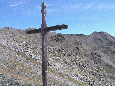
East of Valfréjus, by road, follow the main road to the car park in Le Lavoir (1,920 m). From Lavoir, take the path leading to Refuge du Mont Thabor. After the water source, After the water source, follow the track to the right, cross over the river and continue as far as Plan (on the left bank). After Plan, veer right and follow the path that climbs SE towards Col des Sarrasins (2,844 m). When the weather is bad, be careful as this trail is not always well marked.
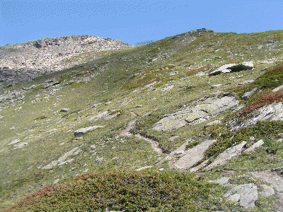
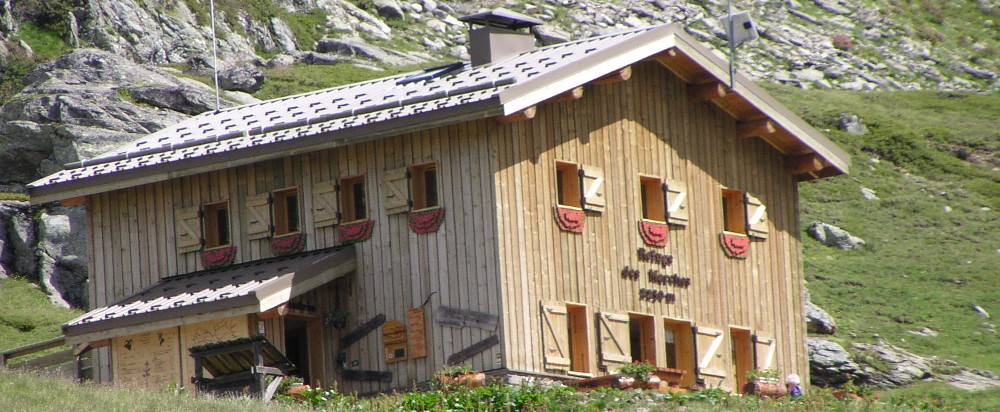
For the descent from Col des Sarrasins, follow the path heading east to Refuge des Marches (2,230 m). Like the ascent, this path is not always well-marked, but you will regularly come across cairns.
Alternative route to visit the Mines des Sarrasins:
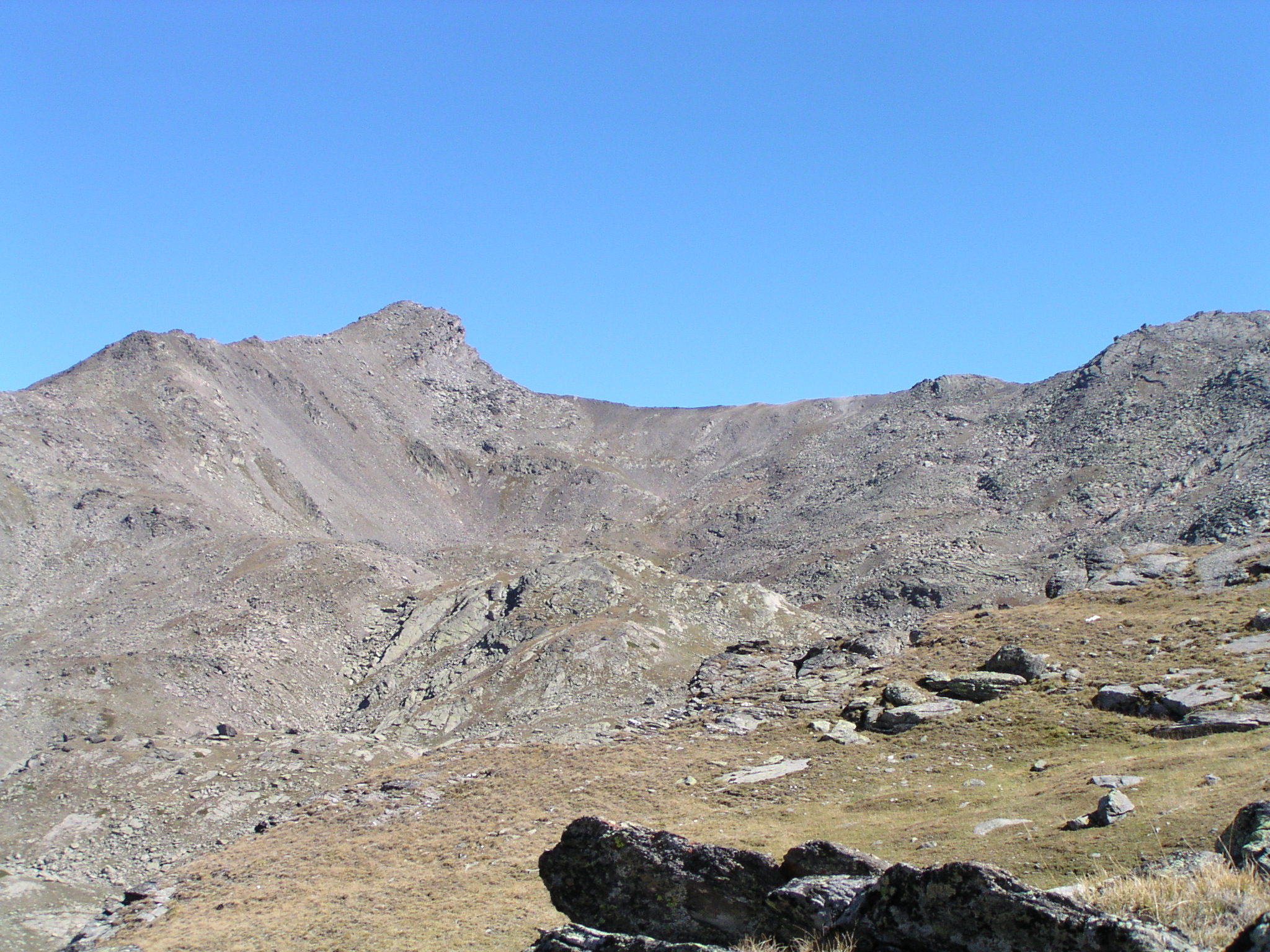
Following the path to Col des Sarrasins, after passing a rocky spur, fork to the right at 2,640 m after passing a series of small lakes. Then climb due north (along the old trails) towards the former barracks of the Sarrasins mines. Pointe des Sarrasins (2,963 m) is easily reached by following the ridge to the right.
These remains of the "silver-lead mines", exploited until the 19th century in adverse conditions at at an altitude of 3,000 metres, were among the highest in Europe.
More information

Refuge des Marches

- 2230m
Departure arrival1920 m
Arrival altitude2230 m
Elevation+920m/-610m
Time6h

step 2
Refuge des Marches to Refuge du Mont Thabor via Col des Bataillères

see on map
From Refuge des Marches (2,183 m), head along Vallon de Bissorte in a southerly direction until you reach Col des Bataillères (2,804 m), passing by Lac des Bataillères. You then reach Refuge du Mont Thabor (2,502 m, -300 m) after the Lacs Sainte Marguerite.
Alternative route:
As this is a short leg, you can enjoy a round tour of Lac de Bissorte before heading back to Refuge du Mont Thabor.
From Refuge des Marches, take the path leading south up the valley towards Col des Bataillères. Shortly after, leave this path and bear left, heading west. After two sharp bends and having passed by two ruins, the path begins to head north. The trail continues up the mountainside and arrives at the Bonnenuit water source. Pass by the EDF buildings for the dam to reach the dike. Cross the dam and take the path along the left bank of the lake which leads back to the refuge.
More information

Refuge du Thabor

- 2502m
Departure arrival2230 m
Arrival altitude2500 m
Elevation+570m/-300
Time3h

step 3
Refuge du Mont Thabor to Lavoir (Valfréjus-Modane) via Mont Thabor

see on map
From the refuge, make your way down Col de la Vallée Etroite (2,434 m.). Cross over to the south side and follow the path leading to Lac du Peyron. Go around the rocky outcrop that dominates the lake to the left. You then reach Col des Méandes (2,727 m) where you can join the "classic Italian route". Follow the path up to the cross at the top of the mountain. The summit is just behind the chapel.
From the refuge, there's an alternative route to Lac du Peyron that avoids passing Col de la Vallée Etroite. From above Lac Rond, head southwards. Skirt Château Léger to the west. Then drop down to Lac du Peyron. This route is not well marked (there are a few cairns and a few paint marks).
For the descent, follow the same route to Col de la Vallée Etroite (2,434 m), then take the path down to the south-west to reach Lavoir.
A chapel at the top of Mont Thabor (3,178 m):
Archives reveal little about the origins of Chapelle du Mont Thabor's construction. All that is written is that the building has existed since time immemorial.
In 1487, the Mélézet parish took over responsibility for the chapel's upkeep. The chapel was completely rebuilt in wood in 1694, made permanent again in 1897 thanks to the generosity of the parishioners of Mélézet, and finally restored in 1951.
The people of Mélézet were also responsible for the Chemin de Croix built in 1860 on the top slopes of Mont Thabor.
More information
Departure arrival2500 m
Arrival altitude3178 m
Elevation+800m/-1300m
Time7h
Book your accommodation
for this hike
step 1
From Lavoir (Valfréjus-Modane) to Refuge des Marches via Col des Sarrasins
Refuge des Marches
step 2
Refuge des Marches to Refuge du Mont Thabor via Col des Bataillères
Refuge du Thabor
step 3
Refuge du Mont Thabor to Lavoir (Valfréjus-Modane) via Mont Thabor
Departure arrival1920 m
Arrival altitude3178 m
Elevation+570m à +920m selon les étapes
Timede 3h à 7h
DifficultyDifficulty Medium
Seasonin summer