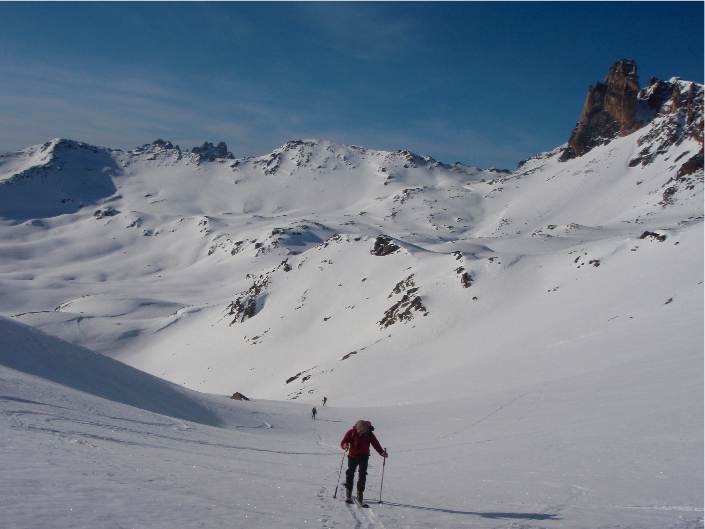
There are several routes from the refuge to the Pointe des Sarrasins. You can reach Plan at 2,152 m via the chalets of Mounioz. Beware of avalanche conditions on these slopes. Then head north-west towards Pointe des Sarrasins at 2,963 m. This climb is relatively straightforward.
From the refuge, you can also head south-west to Col des Roches (2,836 m), which is an easy route around rocky outcrops at 2,722 m to the south. Then follow the ridge to the marker at 3014 m (see map). From this marker, head towards Col des Sarrasins, passing slightly to the west of the ridge. From the pass, traverse along the side of the ridge, then climb back up below Pointe des Sarrasins.
For the descent, return to Plan, then climb back up to the refuge. Beware: in the afternoon, the east-facing slopes below Mounioz can be prone to avalanches. In this case, it is best to climb up the right bank of the stream and follow the GR5 route on the map (the summer path) towards Col de la Vallée Etroite (2,434 m), heading south-west. At the pass, branch off to the west to reach the refuge (2,500 m). In adverse weather conditions, the route between the chalets of Fontaine Froide and Col de la Vallée Etroite is very tricky, so we recommend that you prepare your itinerary carefully or take a few GPS points.
If you choose to head back down to Valfréjus, you can follow the Jeu piste to Lavoir (1,923 m).
More information