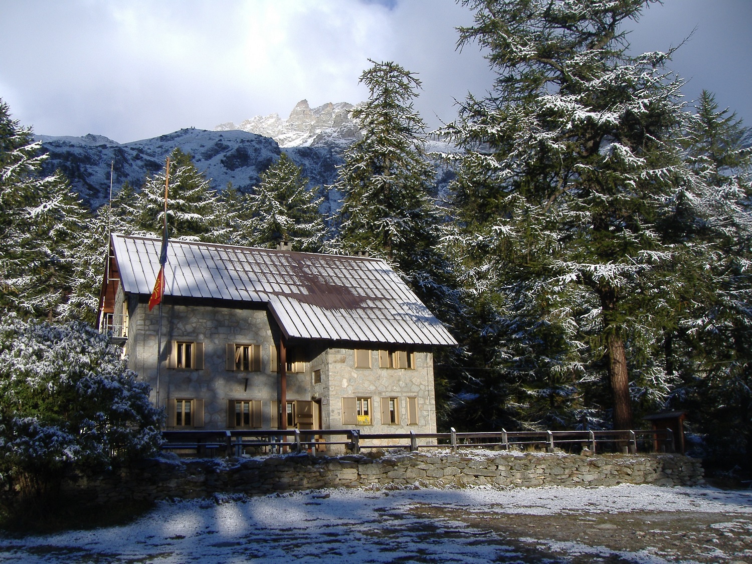
From Salbertrand station, make your way up to the church square. From there, turn right into via Roma and, after a hundred metres or so, pass under an arch and take the path on the left signposted GRV "Glorioso Rimpatrio dei Valdesi / Glorieux Rapatriement des Vaudois" (Glorious Repatriation of the Vaudois). This leads to the small village of Montcellier. After crossing a road, continue along the GRV as far as the village of Eclause, where you should briefly take a break to visit the beautiful Romanesque church and explore the tiny streets with their ancient fountains and unusual stone carvings. Leave Eclause, which is at an altitude of around 1,400 m, and continue along the surfaced road to Granges della Valle and then, a little further on, up the valley to the refuge. If you do not wish to continue along the surfaced road, you can also follow the GRV downhill about 150 m to Combes. From there, continue along a lovely, little-used but well-marked path to Granges della Valle and then on to the refuge. In this case, the difference in elevation is around 1,000 m.
More information


