The Refuge des Drayères highlight!
A great route with a fantastic panoramic view.
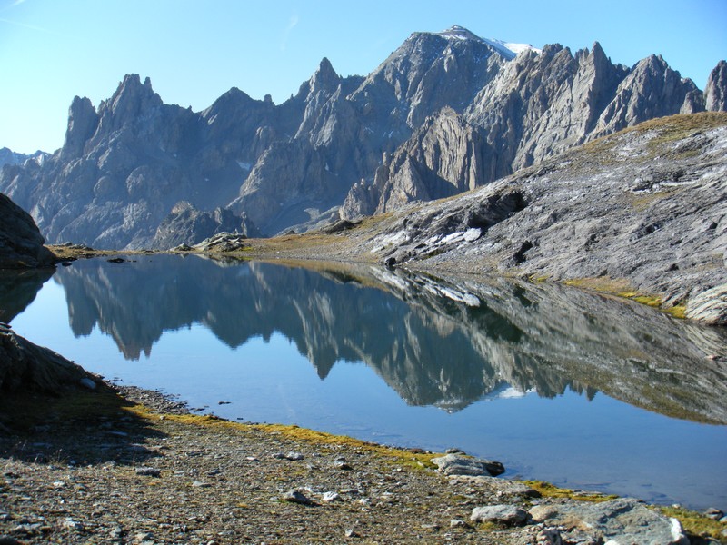
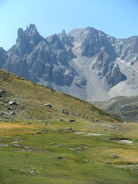
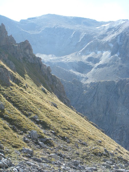
Leaving behind the refuge, follow the Clarée (left bank) (N-W then W) to reach Seuil des Rochilles (2,459 m). Then (due west) follow Lac Rond and Lac Long des Rochilles as far as Col des Rochilles (2,495 m). Take the trail (south-east) towards Col des Cerces (2,574 m). Do not cross Col des Cerces, but instead head left (due east) for about 30 metres along the trail, which then runs south/south-east and takes you onto an scenic overlook above the rocky outcrops that dominate Lac des Cerces. Climb the small ridge along the "névé des Cerces" couloir to the right and continue into the vast basin leading to the summit.
Return via the same route.


