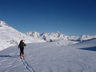
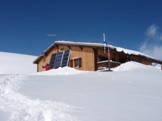
From the top of the village of Valfréjus (1,640 m), head for Lavoir (1,923 m) along the "Jeu" piste. Turn right to the combe (heading south-west). Continue towards Col de la Vallée Etroite (2,434 m) following the right bank of the valley. You will pass the chalets of La Replanette. Just before reaching Col de la Vallée Etroite, head west to Refuge du Mont Thabor (2,502 m). Evening and overnight stay at Refuge du Mont Thabor.
NB: You can take the ValFréjus ski lifts to the summit of Punta Bagna, then descend the Jeu piste to reach the chalets at Fontaine Froide (2,060 m). From here, cross the ridge to the west of the chalets to return to the route previously described (+500 m).
> The Refuge du Mont Thabor highlight
Col du Cheval Blanc (2,791 m)
1hr 30 / + 300 m
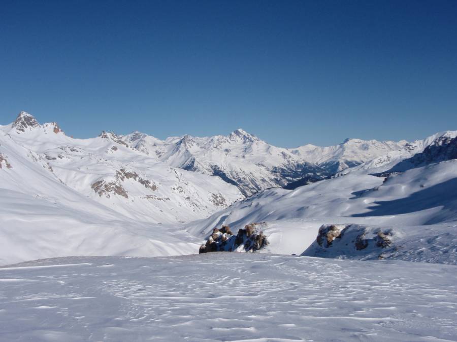
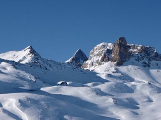
An easy and varied route. Initially, the route takes you through high-altitude floral meadows and past the glistening Sainte Marguerite lakes. Once you reach the pass, the landscape takes on a more alpine and rugged feel, with glimpses of the north face of Mont Thabor and its rocky glacier.
More information


