From the refuge, head towards the Laval car park. Take the dirt track that leads to Refuge des Drayères (1 hr). Alternatively, after crossing Pont du Moutet, you can reach this refuge by following the river Clarée.
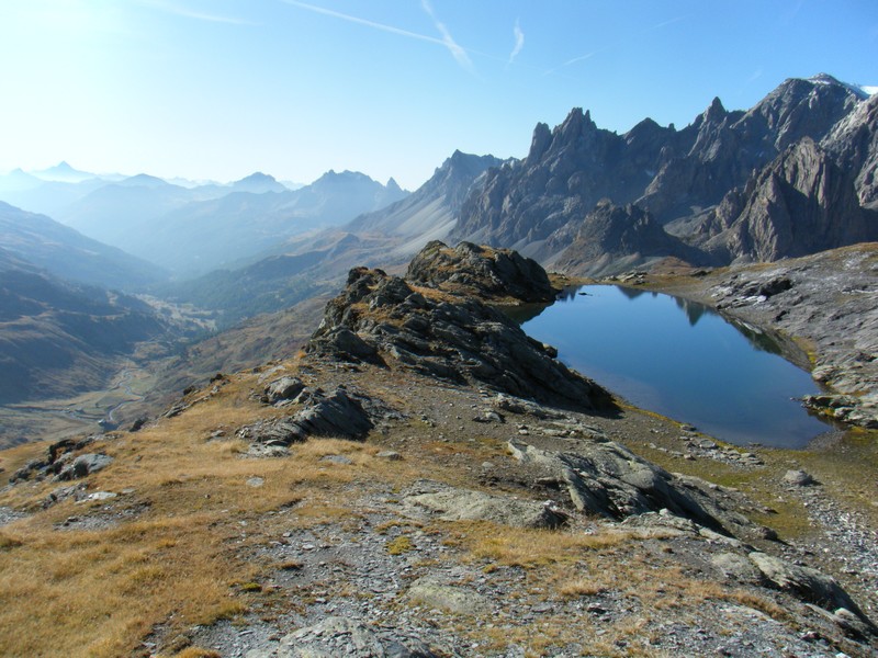
When you reach the refuge, take the path heading west down the valley. The route takes you over stony sections through a marshy area where, in spring, there is a spectacular display of bright yellow flowers. A small hill leads to Lac de la Clarée at 2,433 metres (1 hr), nestling below Seuil des Rochilles at 2,459 metres (15 mins).
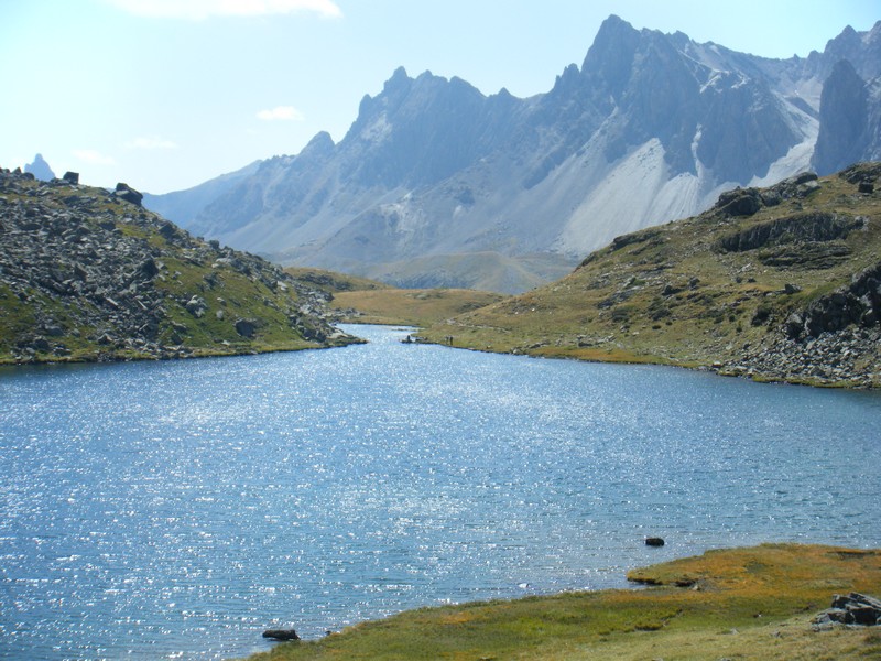
After Seuil des Rochilles, the valley deepens to reveal Lac Rond, the largest lake in the Massif des Cerces. The path runs alongside and leads to Lac du Grand Ban (2,460 m). After the lake, you reach Col des Rochilles (45 mins). From here, you can see the Rochilles military camp below. Do not follow the path down, but instead veer left. The path overlooks the lake and leads to Col des Cerces (2,574 m, 30 mins). From the hill, walk down to Lac des Cerces, heading south through mountain pastures (30 mins). The Pointe des Cerces dominates the landscape.
The climb gradually becomes gentler and smoother as you approach Col de la Ponsonnière (2,613 m, 1 hr 30 mins). Beautiful scenery: The Grand Lac, Arêtes de la Bruyère, Roche Colombe and on the right, Galibier.
From the pass, without any descent, bear left for several metres to find the path that starts off in a diagonal (easterly) direction and halfway up, passing beneath Pic de la Moulinière (3,073 m).
Just beyond the southern foothills of Pic de la Moulinière, take another small path to the left that climbs up through the grassy, rocky pass (2,590 m, 45mins) to reach Col des Béraudes (2,800 m, 45mins).
It overlooks Lac des Béraudes. The descent is steep and the path runs along the right side of the lake. Follow it until you reach Pont du Moutet to reach Refuge Laval, and the car park.
More information


