- Welcome
-
Gîtes and Refuges
-
Refuges
- Refuge Buffère
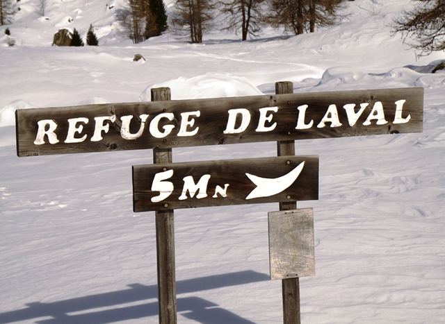
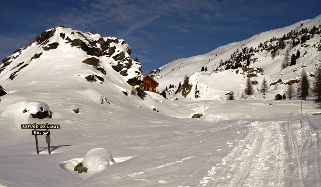
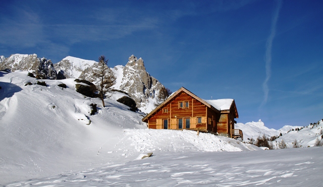
- Refuge Laval
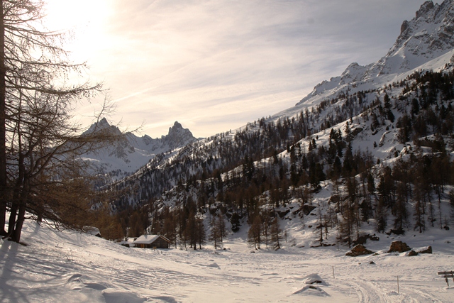
- Refuge du Chardonnet
- Refuge I Re Magi
- Refuge de Ricou
- Refuge Terzo Alpini
- Refuge du Thabor
- Refuge des Marches
- Refuge des Drayères
- Refuge Scarfiotti
- Refuge Levi-Molinari
- Refuge Terre Rouge
- Refuge Arlaud
- Refuge la Chardouse
- Refuge Guido Rey
- Refuge du Galibier
- Refuge du Galibier
- Gîtes
-
Refuges
- Hikes in “Tabor country”
- News
- Useful informations


