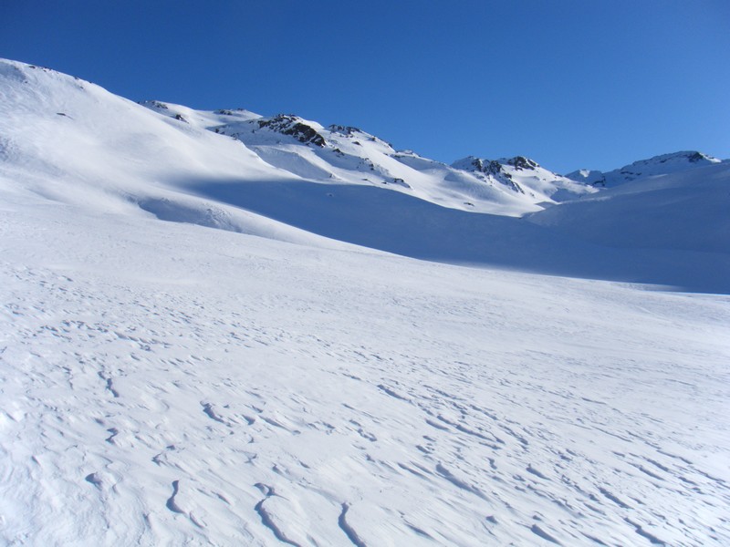
As soon as you leave the refuge, head (N-E) along the right bank of the Muandes stream, then, as the valley narrows, cross the stream and climb to Lac Rond des Muandes (E/S-E).
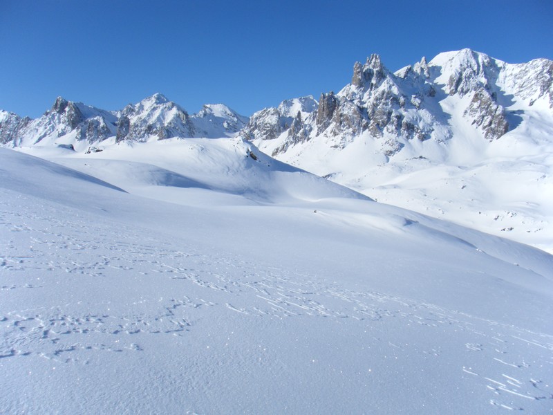
Continue along Crête des Muandes (on the right-hand side) (E/S-E) until you come to the bottom of the valley. The end of the route gradually increases in elevation and, depending on the snow conditions, hikers may need to continue on foot or, in certain cases, with crampons.
The descent follows the same route, although it is possible to reach Refuge Ricou or Refuge Laval by crossing Col de la Tempête and descending due south towards Lac de la Cula.
More information


