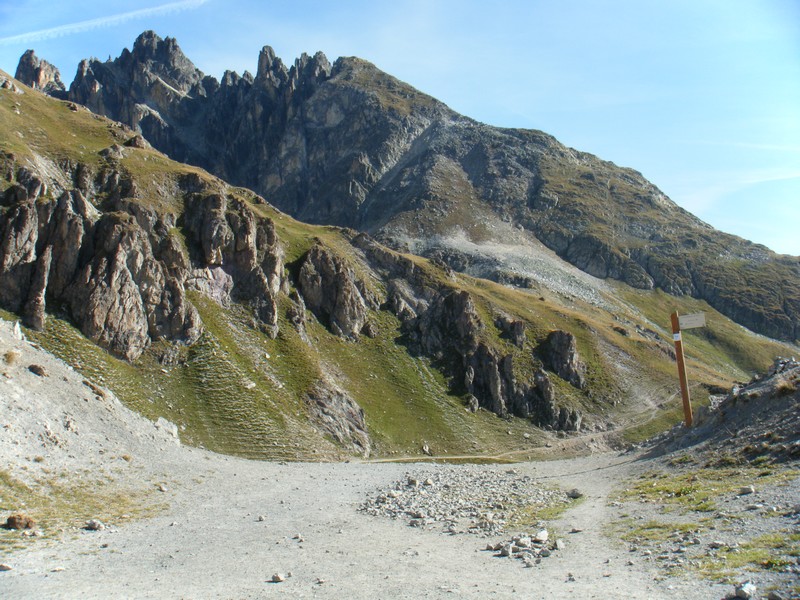
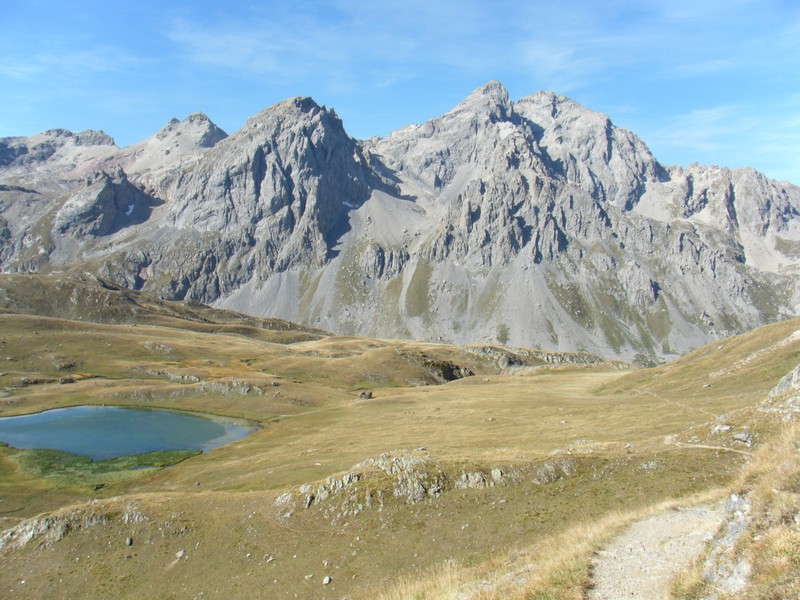
Take the Col des Rochilles trail from the Plan Lachat car park. From the Rochilles camp follow the dirt road to the pass (2,496 m) to enjoy breathtaking views of Aiguilles d'Arves.
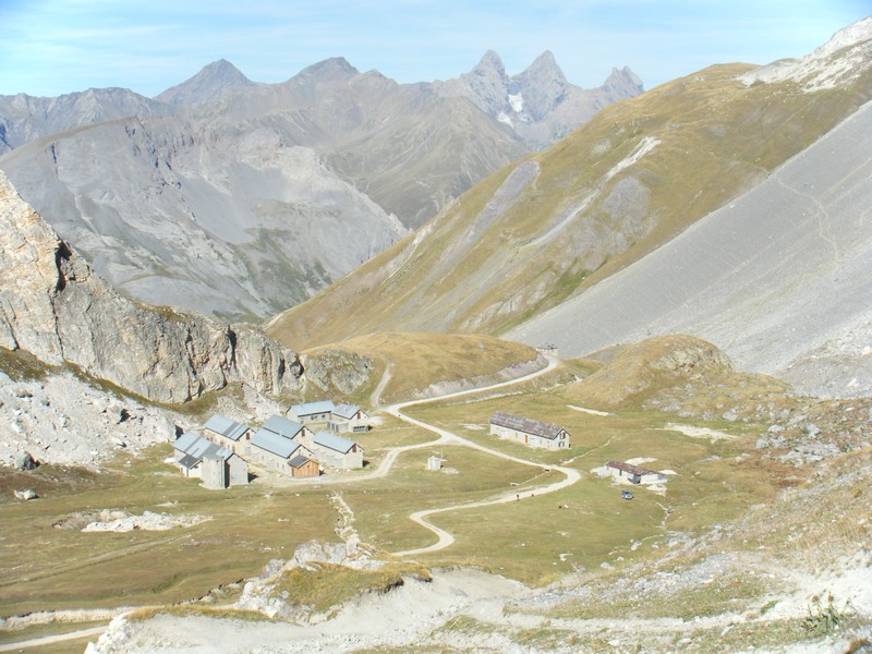
Descend and skirt Lac Long and Lac Rond on the left, then from Seuil des Rochilles (2,469 m) continue along the left bank of the Clarée to Refuge des Drayères (2,180 m).
(Option: You can follow the Cerces stream on the right bank, at the foot of Grand Galibier, towards the lake and then Col des Cerces before reaching Col des Rochilles (1 hour more).
More information


