Starting from Bardonecchia station (1,312 m), take Viale della Vittoria to Campo Smith (ski lifts). From here, take the track on the left of the chairlift towards Pian del Colle - Granges Hyppolites (1,550 m). Then take the track down to the Chapelle du Cognet (with 15th-century frescoes) and continue towards Mélezet as far as the ski lift car park (1,370 m).
NB: you can avoid the climb to Pian del Colle by following the Vie du Viò path on the way to Pian de Colle, which also leads to Chapelle du Cognet. This path crosses at the 1400-metre mark.
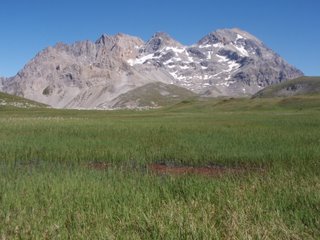
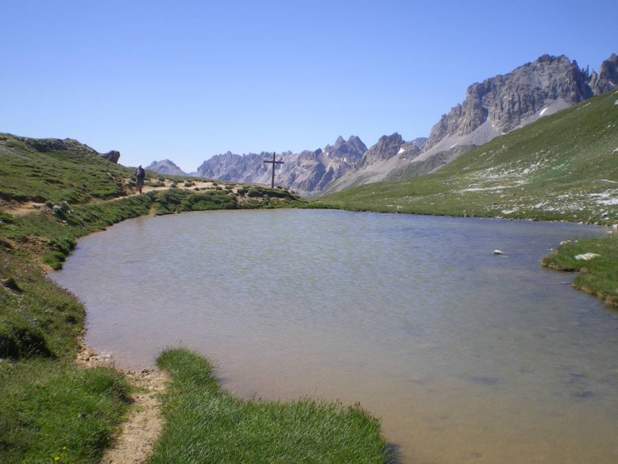
From the Pian del Colle campsite (1,445 m), take the main road and the trail for Vallée Etroite (not shown on the map). This path takes you along the left bank of the stream running through Vallée Etroite. At the bottom of the Paroi des Militaires plateau, at la Bergerie (1,711 m), cross the stream and continue along the path until you reach Granges de la Vallée Etroite (4 hrs).
There is an alternative route with a greater difference in elevation between Bardonecchia and Vallée Etroite, passing Punta Colomion and Passo della Mulattiera (+1,140 m/-960 m).
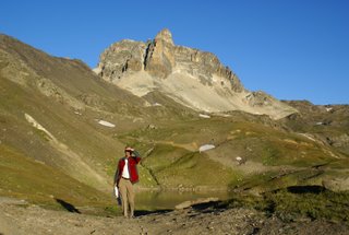
Starting from Bardonecchia station (1,312 m), take Viale della Vittoria to Campo Smith (ski lifts). From here, take the track on the left of the chairlift towards Pian del Sole - Granges Hyppolites (1,550 m). Then follow the road as far as Punta Colomion (2,054 m) and continue along this military path as far as Passo della Mulattiera (2,412 m) and the Ancien Poste des Acles (2,292 m) to the east of Col des Acles. From here, take the GR5B towards Pian del Colle. Leave the GR route to take the path on the left bank of the Rio Curguas, going down to Granges Guiau (1,832 m) and then Pian del Colle (1,445 m). Cross the main road and, after the Pian del Colle campsite, take the footpath for Vallée Etroite (not shown on the map). This path takes you along the left bank of the stream running through Vallée Etroite. At the bottom of the Paroi des Militaires plateau, at la Bergerie (1,711 m), cross the stream and continue along the path until you reach Granges de la Vallée Etroite (8 hrs 30).
More information


