Compagnie des Refuges Clarée Thabor
Search for availability of lodges and refuges

The Haute-Route Thabor starting from Valmeinier

A sporty trek from the Maurienne valley

step 1
1st stage: Valmeinier 1800 to Refuge du Mont Thabor (+1,575 m, -875 m)

see on map
From Valmeinier 1800, head S-E and then E along the combe of Col des Marches. You'll reach Col des Marches (2,725 m, +925 m). Cross over to the other side (E) towards Lac de Bissorte to reach an altitude of around 2,150 m (-575 m). Climb in a southerly direction. Pass alongside Lac des Bataillères (2,422 m). Then head S-E to reach Col des Bataillères (2,804 m, +650 m). Then take a S-E direction down to reach Refuge du Mont Thabor (2,502 m, -300 m). Evening and overnight stay at Refuge du Mont Thabor.
More information

Refuge du Thabor

- 2502m

step 2
2nd stage: Refuge du Mont Thabor to Granges de la Vallée Etroite (+850 m, -1,550 m)

see on map
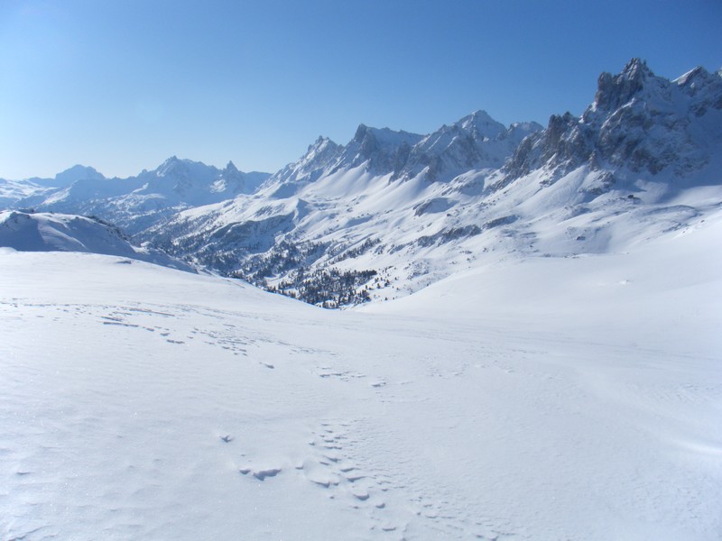
From Refuge du Mont Thabor (2,502 m), drop down to Col de la Vallée Etroite (2,434 m). Continue S-W for 2,350 metres (-150m), then head up to Lac du Peyron (2,430 m). Make your way around the large barrier of rock to the left (from the east) for Les Chances du Peyron and Col des Méandes (2,727 m). Continue N-W to reach the summit of Mont Thabor (3,178 m, +850 m).
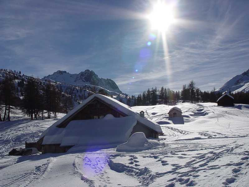
For the descent, follow the same route as far as Col des Méandes. Then bear right (in a southerly direction) into Vallon du Dîner. You’ll reach Granges de la Vallée Etroite (1,765 m, -1,400 m). Evening and overnight stay at Refuge I Re Magi or Refuge Terzo Alpini.
More information

Refuge I Re Magi

- 1760m

Refuge Terzo Alpini

- 1780m

step 3
3rd stage: Granges de la Vallée Etroite to Refuge Buffère (+1,380 m, -1,045 m)

see on map
From Granges de la Vallée Etroite, head up the “Narrow Valley” as far as Pont de la Fonderie (1,920 m). Pass around Tête du Chien heading north, and then south to join Col du Vallon (2,645 m, +880 m). Drop down to the combe of Vallon de Ville Haute (1,600 m, -1,045 m). Take the snow-covered Haute Vallée de la Clarée route as far as the Lacou chapels and bear left (S-W) at an altitude of 1,770 m towards Pont du Rately. Then walk up to Refuge Buffère (2,076 m) along a route that is generally well maintained to enjoy refreshments at your destination (+500 m). Evening and overnight stay at Refuge Buffère.
More information

Refuge Buffère

- 2076m

step 4
4th stage: Refuge Buffère to Refuge du Chardonnet (+885 m, -730 m)

see on map
From Refuge Buffère (2,076 m), walk up to Crête de Baude (2,571 m, +500 m). Descend the north face in the direction of Bois de Suly until you reach La Souchère (1,845 m, -730 m), then walk up to Refuge du Chardonnet (2,230 m, +385 m) passing by the chalets de Larau. Evening and overnight stay at Refuge du Chardonnet.
For a less challenging option, follow the Baude path down via the refuge and the forest.
More information

Refuge du Chardonnet

- 2227m

step 5
5th stage: Refuge du Chardonnet to Refuge Ricou (+865 m, -1,000 m)

see on map
From Refuge du Chardonnet (2,230 m), tour around the Massif du Queyrellin via Casse Blanche (2,844 m, +610 m). Head down along Couloir de la Replate, which runs E/S-E above the Rif Tord stream. This leads to the hamlet of Fontcouverte (1,857 m, -1,000 m). Walk up to Refuge Ricou (2,115 m, +255 m). Evening and overnight stay at Refuge Ricou.
More information

Refuge de Ricou

- 2115m

step 6
6th stage: Refuge Ricou to Refuge des Drayères (+750 m, -685 m)

see on map
From Refuge Ricou (2,115 m), walk up the south-facing slope to Col de la Grande Tempête (or Crête des Muandes) (2,865 m, +750 m). Here you have the option to climb to the peak of Grande Tempête (3,002 m, +900 m)) and then down the west-facing slope to reach Refuge des Drayères (2,180 m, -685 m). Evening and overnight stay at Refuge des Drayères.
More information

Refuge des Drayères

- 2180m

step 7
7th stage: Refuge des Drayères to Valmeinier 1800 (+610 m, -1,000 m)

see on map
From Refuge des Drayères (2,180 m), you will pass by the Lacs de la Madeleine (2,630 m) en route to Col de Névache (2,794 m, +610 m). Then head down the other side to join the combe of Névache, which runs N and then N-W. Follow its course to reach the Valmeinier 1800 resort (-1,000 m).
More information

Les Chalets de l'Armera

- 1680m
Book your accommodation
for this hike
step 1
1st stage: Valmeinier 1800 to Refuge du Mont Thabor (+1,575 m, -875 m)
Refuge du Thabor
step 2
2nd stage: Refuge du Mont Thabor to Granges de la Vallée Etroite (+850 m, -1,550 m)
Refuge I Re Magi
Refuge Terzo Alpini
step 3
3rd stage: Granges de la Vallée Etroite to Refuge Buffère (+1,380 m, -1,045 m)
Refuge Buffère
step 4
4th stage: Refuge Buffère to Refuge du Chardonnet (+885 m, -730 m)
Refuge du Chardonnet
step 5
5th stage: Refuge du Chardonnet to Refuge Ricou (+865 m, -1,000 m)
Refuge de Ricou
step 6
6th stage: Refuge Ricou to Refuge des Drayères (+750 m, -685 m)
Refuge des Drayères
step 7
7th stage: Refuge des Drayères to Valmeinier 1800 (+610 m, -1,000 m)
Departure arrival1800 m
Arrival altitude3178 m
Elevationde +610 à +1575m par jour selon les étapes
Seasonin winter