Compagnie des Refuges Clarée Thabor
Search for availability of lodges and refuges

4 days (3 nights): Tour around Mont Thabor along the GR57, starting from Névache

Refuges I Re Magi - Terzo Alpini - Thabor - Drayères
A small tour to climb Mont Thabor (3,178 m)

step 1
From Névache to Granges de la Vallée Etroite via l’Aiguille Rouge

see on map
From Névache, head for Sallé and Chapelle des Ames (1,623 m). Follow the GR5-GR57 up the right bank of the Roubion to Chalets des Thures (2,105 m). For Aiguille Rouge (2,545 m), from Chalets des Thures take the path that cuts through the mountain pastures (heading E) to reach the scree slope. From the summit, you can enjoy a superb 360° view of Bardonecchia, Vallée Etroite and Vallée de la Clarée. Follow the same path back down to Chalets des Thures and continue through the beautiful mountain pastures of Vallon des Thures to reach Col des Thures (2,194 m). At the pass you'll find Lac Chavillon, better known as Lac des Thures. Continue on towards Italy to Granges de la Vallée Etroite (1,760 m) along a very pretty, easy and popular path through the forest (4 hrs).
More information

Refuge I Re Magi

- 1760m

Refuge Terzo Alpini

- 1780m
Departure arrival1600 m
Arrival altitude1780 m
Elevation+930m/-780m
Time4h

step 2
From Granges de la Vallée Etroite to Refuge Mont Thabor via Lac Vert

see on map
From Granges de la Vallée Etroite (1,760 m), follow the path to Col de la Vallée Etroite. About a kilometre further on further on, take the path to the right (heading east) and cross the Vallée Etroite stream. After the bridge, take the path that climbs straight up through the forest and takes 5 minutes to reach a small lake hidden by a few trees at the foot of the Rois Mages which have developed an attractive green hue as a result of algae. From here, take the track through the woods heading north to rejoin the main path at Pont de la Fonderie. Continue north to Col de la Vallée Etroite (2,434 m). Refuge du Mont Thabor (2,502 m) lies NW of the pass (4 hrs).
More information

Refuge du Thabor

- 2502m
Departure arrival1760 m
Arrival altitude2500 m
Elevation+740m
Time4h

step 3
Refuge du Mont Thabor to Refuge des Drayères via Mont Thabor

see on map
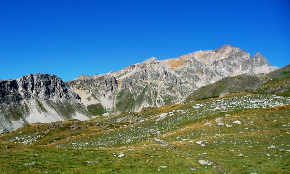
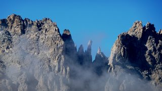
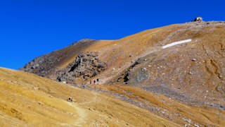
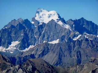
From Refuge du Mont Thabor (2,502 m), drop down to Col de la Vallée Etroite (2,434 m), then follow the gentle contour to Lac du Peyron (2,450 m). Climb back up and traverse due west under the Seru towards Col des Méandes (2,727 m). From Col des Méandes, follow the fairly steep Chemin de Croix leading to Mont Thabor (3,178 m, 4 hrs). Descend along a fairly good track to Col de la Chapelle (2,643 m). From Col de la Chapelle, follow the west face of Roc de Valmenier to Col de Valmeinier (2,870 m). Follow the ridge of Roche du Chardonnet to Col des Muandes (2,828 m). Descend towards Refuge des Drayères (2,180 m) heading SW, passing alongside Lac des Muandes and Lac Rond (3 hrs).
More information

Refuge des Drayères

- 2180m
Departure arrival2500 m
Arrival altitude2180 m
Elevation+800m/-1100m
Time7h

step 4
From Refuge des Drayères to Névache

see on map
From the Drayères refuge (2,180 m), take the classic route back down to Laval following the left bank of the Clarée. 200 metres before the Laval car park (2,030 m), take the path up to Côte du Jas (2,396 m) "GR de pays du tour du Mont Thabor" and follow this scenic overlook towards Névache (SE). Continue southwards past the chalets of Biaune to the hamlet of Lacou, then Nevache along the path that cuts across the winding upper valley road. (1,680 m, 2 hrs 30).
It is possible to head straight down from the chalets of Biaune to Pont du Rately to reach Névache on the right bank (no vehicles).
More information

Gite la Decouverte

- 1595m
Departure arrival2180 m
Arrival altitude1600 m
Elevation+220m/-720m
Time2h30
Book your accommodation
for this hike
step 1
From Névache to Granges de la Vallée Etroite via l’Aiguille Rouge
Refuge I Re Magi
Refuge Terzo Alpini
step 2
From Granges de la Vallée Etroite to Refuge Mont Thabor via Lac Vert
Refuge du Thabor
step 3
Refuge du Mont Thabor to Refuge des Drayères via Mont Thabor
Refuge des Drayères
step 4
From Refuge des Drayères to Névache
Gite la Decouverte
Departure arrival1600 m
Arrival altitude3178 m
Elevation+220m à +930m selon les étapes
Timede 2h30 à 7h
DifficultyDifficulty Medium
Seasonin summer